
Assessment, Permitting, Protection.
Field Proven Results.
About Us
Rundle Environmental is a Calgary based ecological consulting company, specializing in wildlife and terrestrial surveys. With extensive experience in western Canada and projects across the country, we are committed to providing environmental support while minimizing delays and ensuring compliance with industry, municipal, provincial and federal standards and best practices.
We strive to provide practical solutions and preemptive measures that benefit projects, communities, people, and the natural world, thereby reducing surprises and red-flags.
What’s in a Name?
The name Rundle Environmental pays homage to the iconic mountain known for its wedge-shaped peak and its signature backdrop for Mînî hrpa (Banff area, Alberta). While the mountain is commonly referred to as “Mount Rundle”, its original name is Waskahigan Watchi, meaning House Mountain in Cree. The Mountain, and surrounding area played an important role in our professional and personal development, and continues to do so. It also stands as a reminder to continually move forward In a Good Way, while we navigate the intersection of the natural world and needs of the modern age.
Services
Fauna
Environmental Planning
Desktop assessments
Wildlife and sensitive feature planning
Project planning around environmental risk timeframes
Risk evaluation and mitigation
Permit application support
Pre-Disturbance Biophysical Assessments and Baseline Inventories
Nest and Wildlife Sweeps
Sensitive feature surveys
Species at Risk surveys and habitat mapping
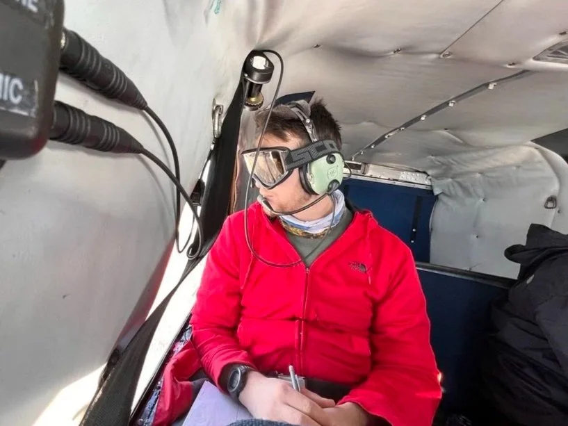
Aerial Ungulate Surveys and Habitat use
Construction, Behavioural Monitoring & Salvage
Reptile and Amphibian capture and release
Beaver trapping and dam removal
Construction monitoring near sensitive features and within sensitive habitat
Flora & Water
Wetlands
Wetland identification, classification, and delineation
Historical and permanence assessments
Reporting, mitigation and submission for permitting
Water
Water quality sampling
Turbidity monitoring
Heavy metal analysis of riverbed sediments
Vegetation
Vegetation community characterization and mapping
Rare plant and native grassland surveys
Verification of predictive community mapping and databases
Mapping & Regulatory
Study Area mapping and spatial analysis to support project submission and planning.
Vegetation and habitat mapping
Anthropogenic land use mapping
Historical assessments
Animal movement mapping and analysis
Wetland and watercourse mapping and assessment for ABWRET-A, ABWRET-D, Wetland Assessment and Impact Forms (WAIF), Wetland Impact and Assessment Reports (WAIR), and DLO submissions.
Environmental Reporting that meets the requirements of applicable Municipal, Provincial and Federal Acts, and Guidelines.
Permitting and regulatory reporting and submission including:
Biophysical Impact Assessments (BIA)
Environmental Impact Assessments (EIA)
Environmental Assessments (EA)
Environmental Screenings (ES)
Preliminary Natural Site Assessment (PNSA)
Our Team
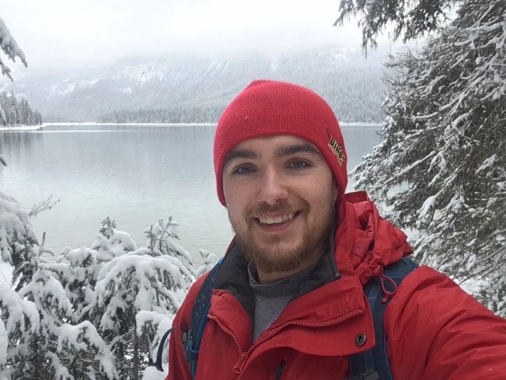
Tyler Lingnau, B.Sc., P.Biol.
Tyler is a citizen of Otipemisiwak Métis Government and the principal biologist at Rundle Environmental. He is a professional biologist with extensive experience in western Canada, and has worked on projects across the country. Specializing in terrestrial and avian ecology, and geo-mapping, he is experienced in providing environmental compliance support through all project phases.
He has completed work on in-situ oil, open-pit oil sand mines, pipeline construction, orphan well, urban land and infrastructure development, utility construction, ore mining and renewable energy projects across Western Canada and Ontario. His field experience includes amphibian, avian, bat, Species-at-Risk surveys, reptile, terrestrial mammal inventory and assessment, as well as vegetation, habitat surveys, and wetland assessments.
His experience and background has translated to reliable results, with increased efficiency and reduce regulatory risk for clients.
PrincipleLet’s Collaborate
Have a question or a project in mind? Let’s discuss how Rundle can support and navigate the regulatory process with you.
Email is the most reliable way to connect given the typical service restrictions of field-work. Prefer to chat? Our contact information is below.

403-601-9957

36 Tuscany Valley Lane NW
Calgary, Alberta T3L 2C2
